


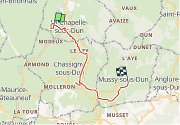

4 km | 4.7 km-effort


User


FREE GPS app for hiking
 SityTrail
IGN / Geographical institutes
SityTrail World
The world is yours!
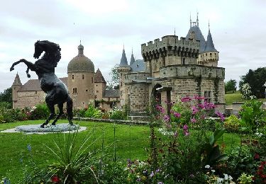
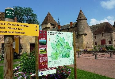
Trail Coupling of 9.6 km to be discovered at Bourgogne-Franche-Comté, Saône-et-Loire, La Chapelle-sous-Dun. This trail is proposed by labarge.
trajet chapelle mussy
On foot
Mountain bike
Mountain bike
Mountain bike

Mountain bike
Walking

Walking
Mountain bike

Quad